Categories
stratawalks walks

Zoom of Doom

A Sense of Impending Doom: A Strata-walk for Turbulent times

The last few months of social distancing and general uncertainty about the future have generated a new appreciation for collectivity, closeness, and community. As we are separated from each other and travelling is no longer a viable option, how can we find ways to share and connect through a sense of beingness, while remaining in the safety of our own homes?

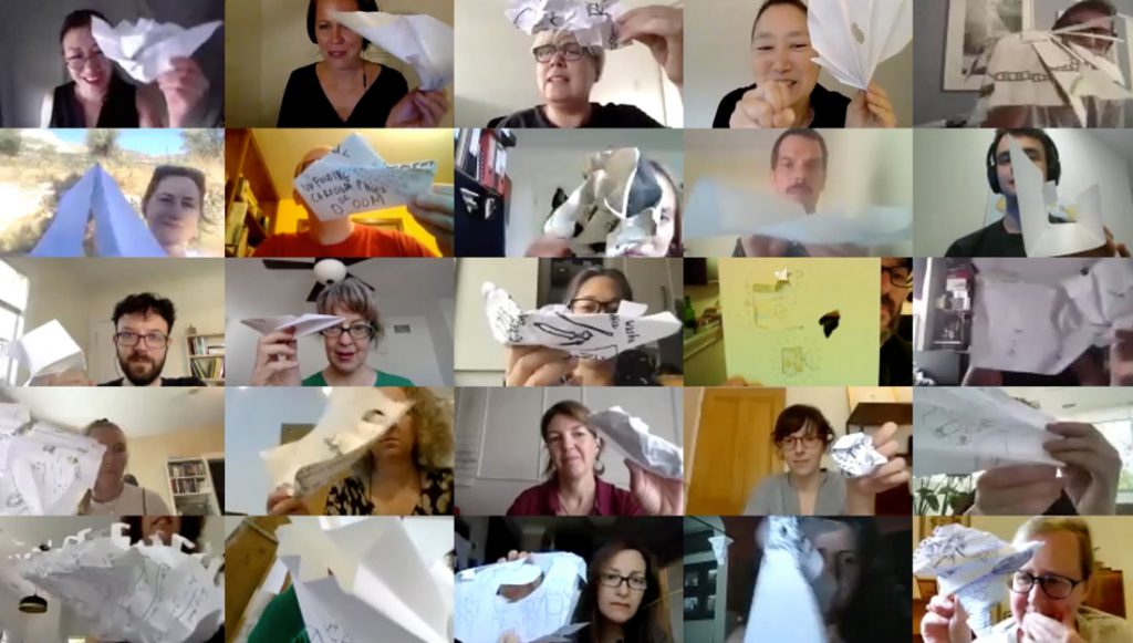
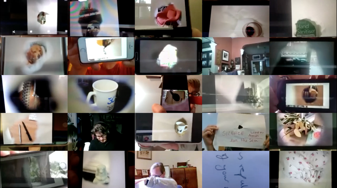
The Art & Cartography Commission of the International Cartographic Society, in partnership with the Hamilton Perambulatory Unit, presented an online “walkshop” in July 2020, as part of the conference Drifting Bodies/Fluent Spaces. The event investigated the act of mapping and situating ourselves, confronting our anxieties, as well as tuning in to what brings us comfort in our own space. The group of 30 participants, located all over the world, connected and sensed each other in unique ways through a series of analog mapping exercises that took place in the virtual space of Zoom. Using simple tools in their vicinity, such as a piece of paper, a camera, and a marker, the participants captured their bodies in space, the sky above their heads, as well as their relationships and emotions to their environment.
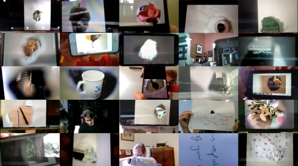
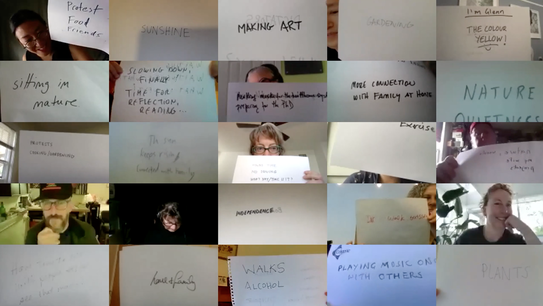
Visit the website to view the traces and outcomes of the workshop: https://impendingdoomwalk.wordpress.com/

​Watch the video documentation of the full workshop, featuring various perspectives – from the bird’s-eye view of the zoom grid to the close-ups of the personal and intimate moments.

A Sense of Impending Doom: A Strata-Walk for Turbulent Times from Taien Ng-Chan on Vimeo.

Want to participate?

It’s not too late and we hope that the archive will keep growing! Discover new and unique ways to experience mapping the space that surrounds you by following the set of exercises listed on the “Outcomes” page. Send your emotional and sensorial Strata-Map to hamiltonperambulatoryunit@gmail.com.

​Drifting bodies/ fluent spaces is an international meeting/conference on walking arts in relation to the liquid bodies that cross the landscape. Focusing on intermedia and embodied practices, the project enables a site-specific creation-research laboratory about the relations between walks and dérives, sounds and silences, void and occupied places, digital and bodily spaces, and their walking narrations and translations. https://walk.lab2pt.net/
Categories
stratawalks walks

Tokyo Olympic Sites

​Reclaiming Through Mapping: The Olympic Sites of Tokyo

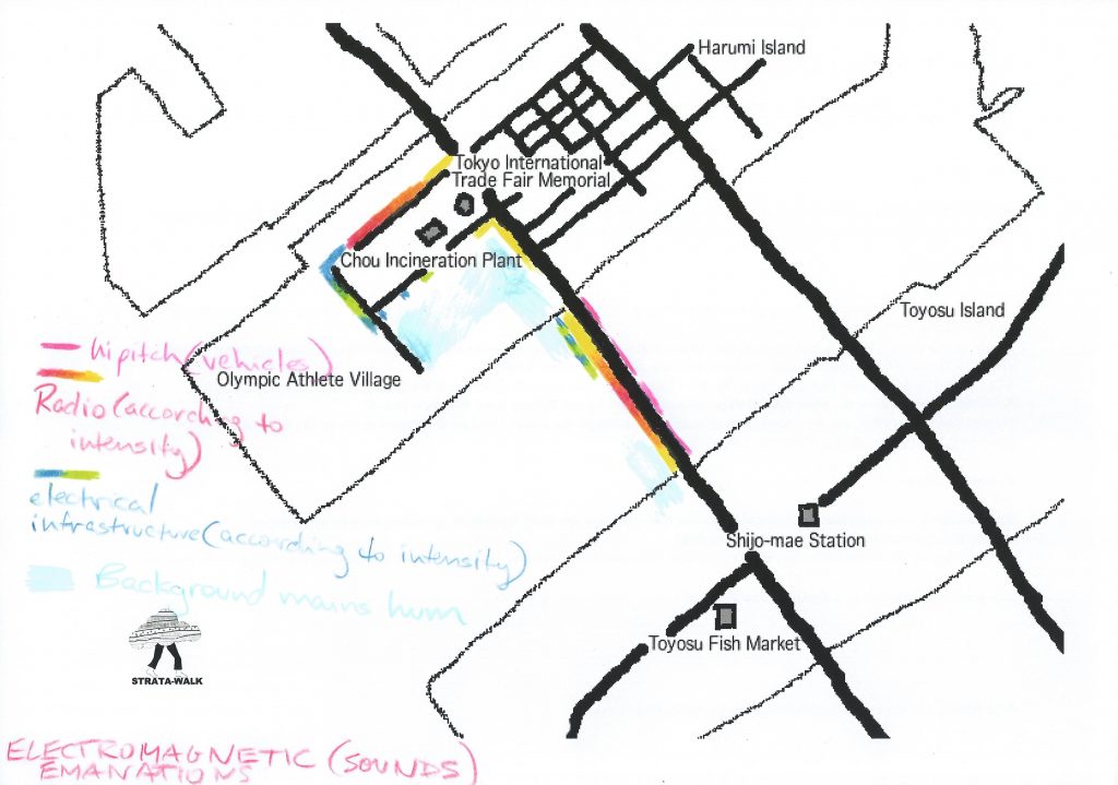
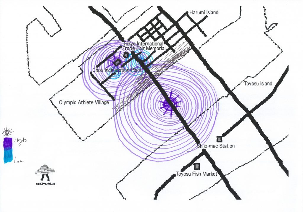
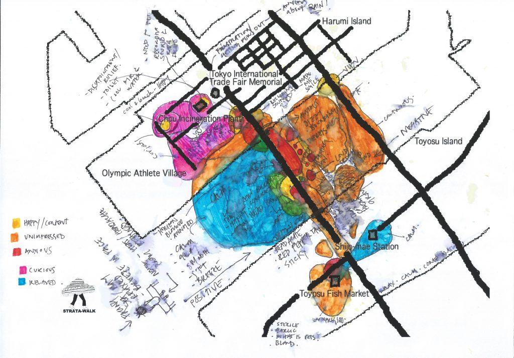
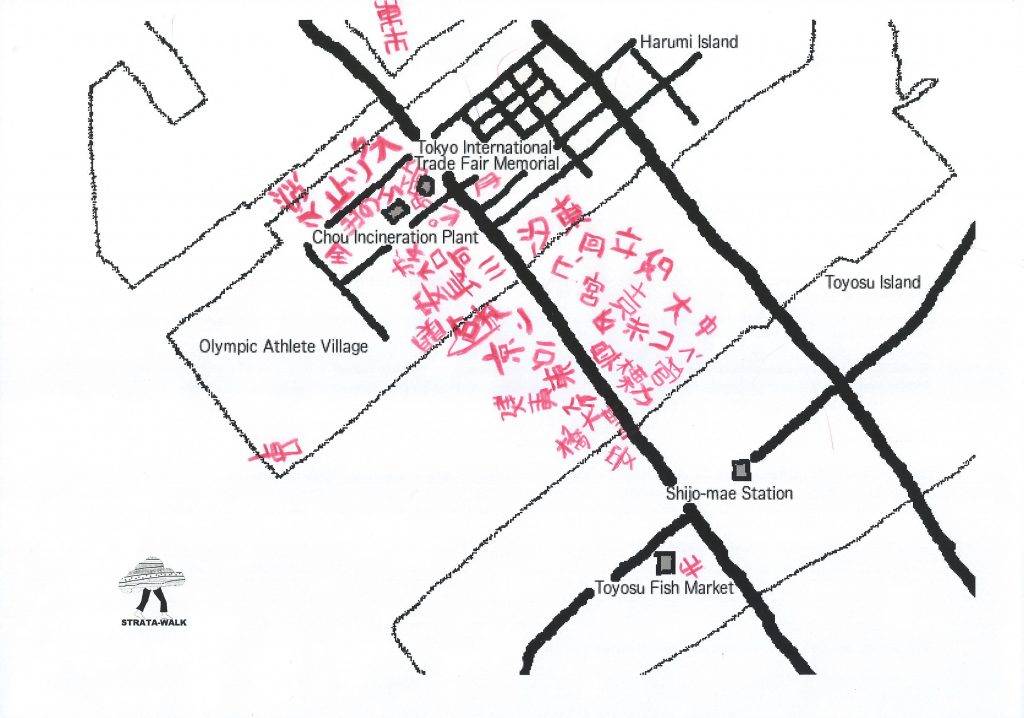
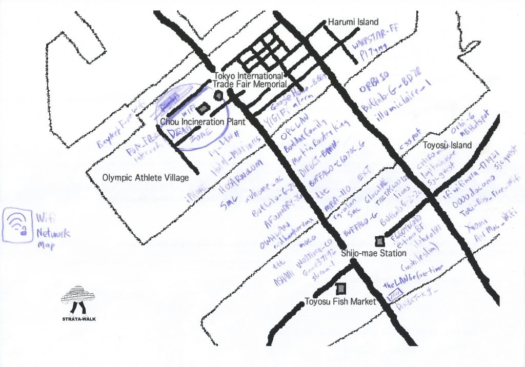
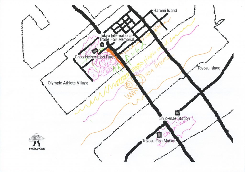
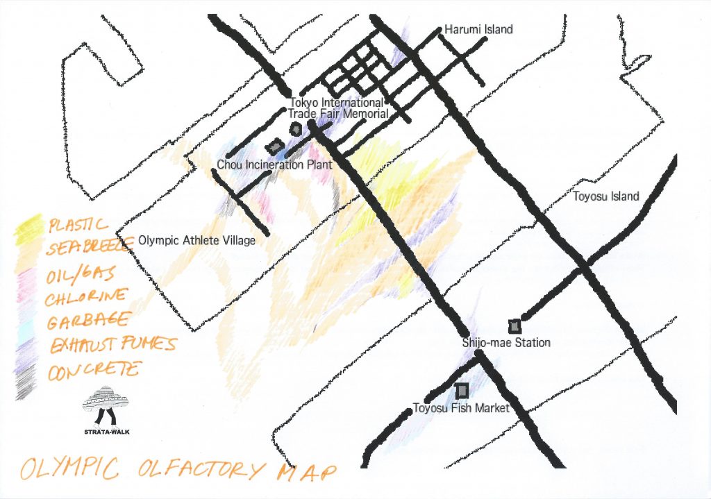
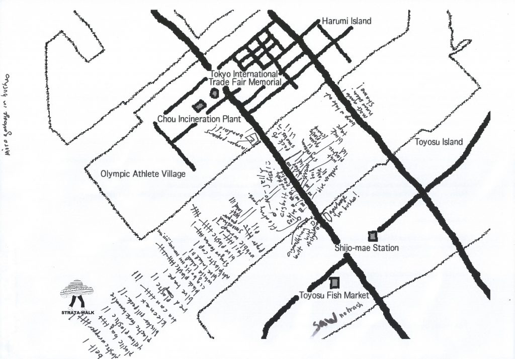
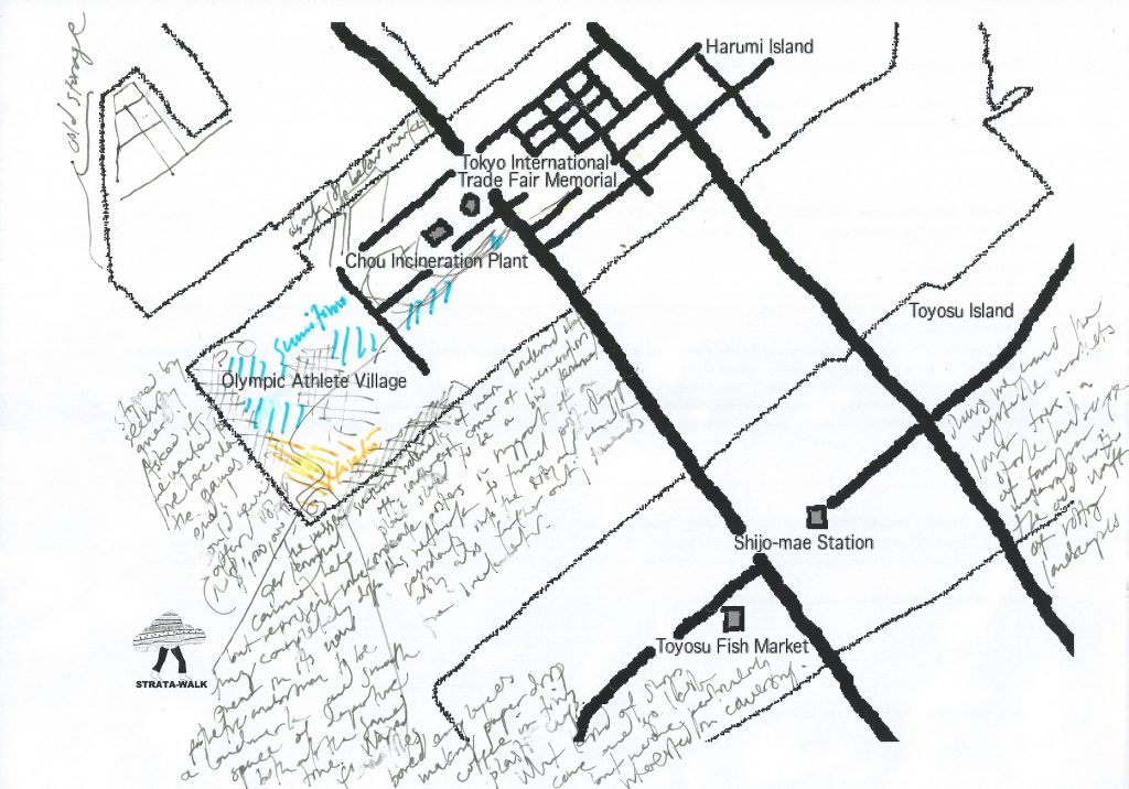
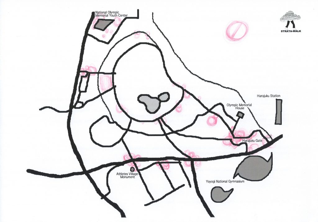
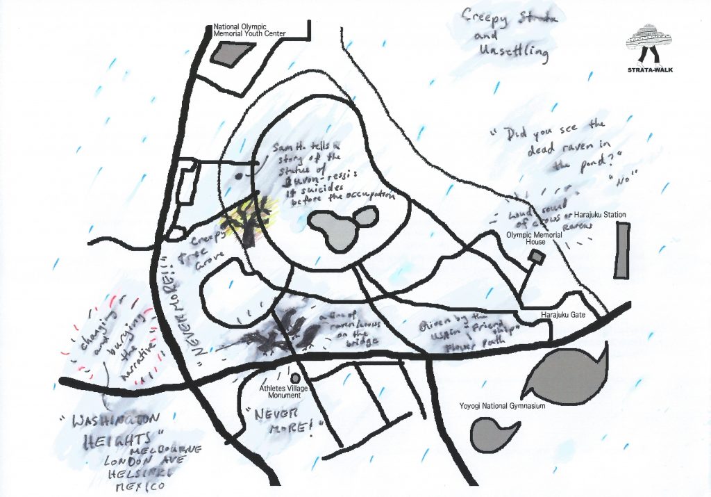
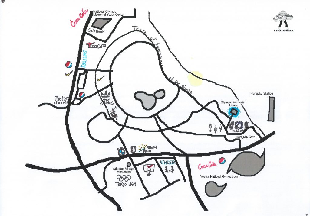
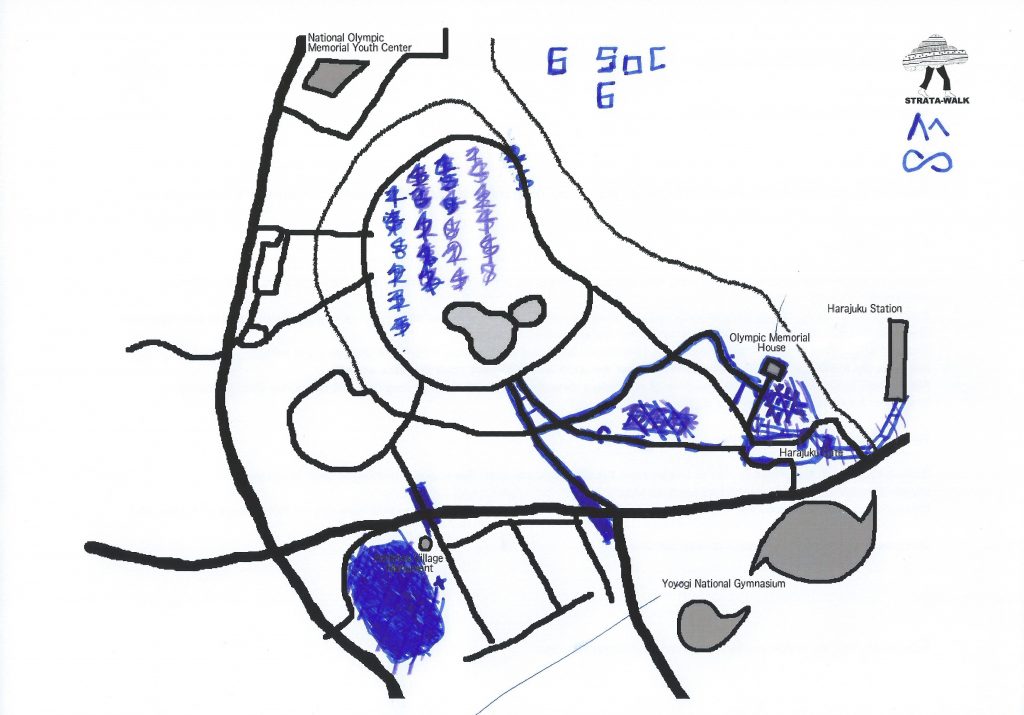
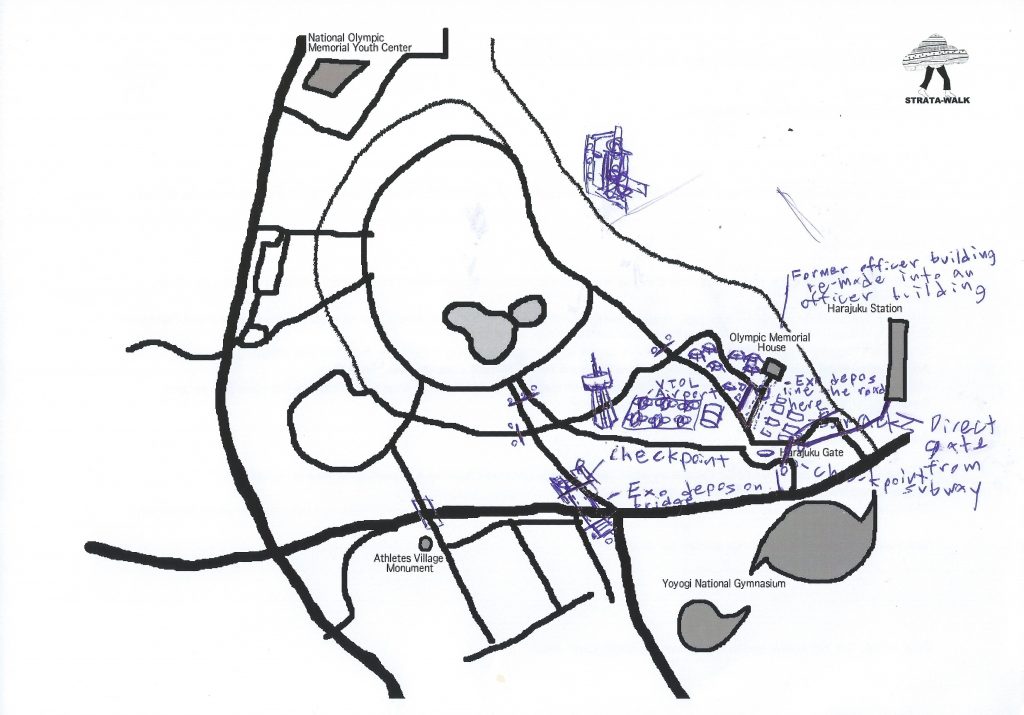
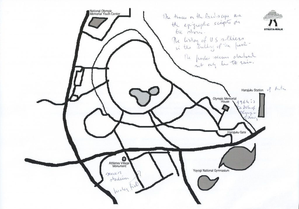
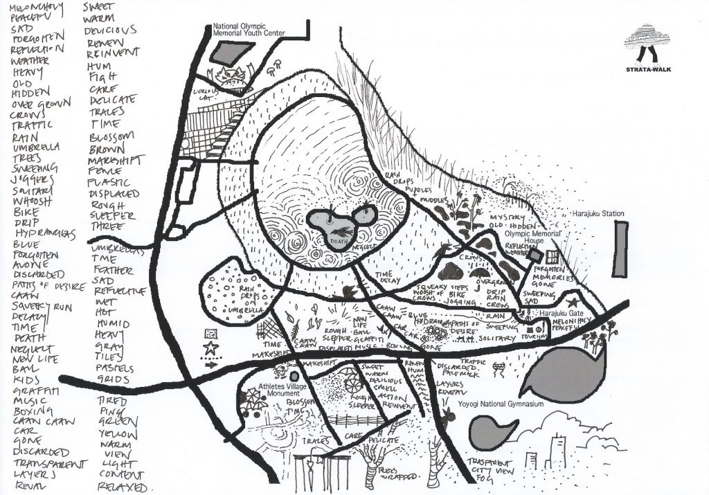
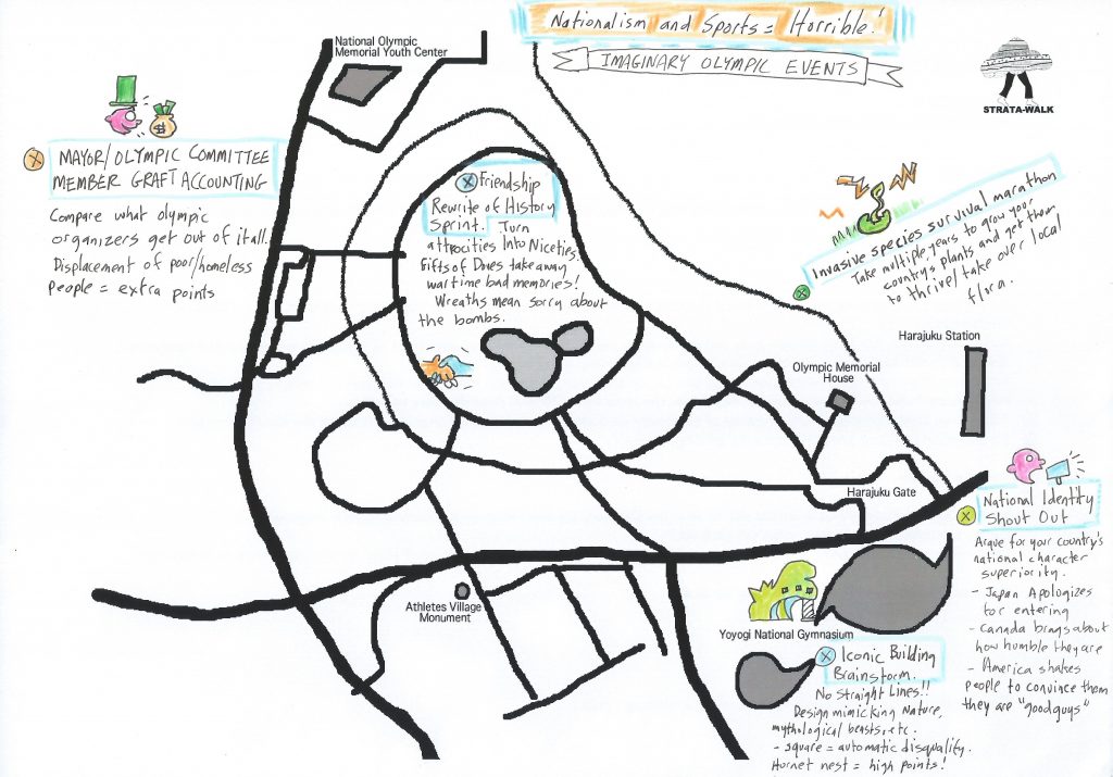
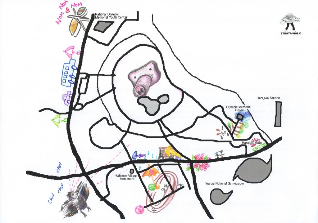
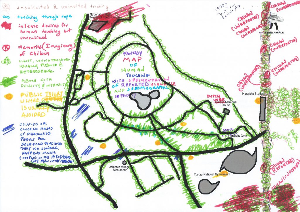
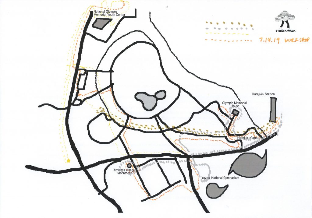
The International Cartographic Association (ICA) Commission on Art & Cartography organized the Pre-Conference Workshop “Reclaiming through Mapping: Olympic Sites of Tokyo” in July 2019. Some of these spaces, including the main conference venue, are on reclaimed land or artificial islands in Tokyo Bay built out of waste landfill. This workshop investigated the question of how place is constructed and mapped, using an experimental methodology developed by the artist-research collective Hamilton Perambulatory Unit, who led a participatory mapping walk in Tokyo that looks to uncover the layers of urban development history of the 2 Tokyo Olympics and the high-growth (1964) and post-growth (2020) periods they represent. This interdisciplinary workshop used hybrid spatial and sensory ethnography and intermedial approaches to map a site and distinguish the layers of time, history, materiality, and digital city-image. Participants contributed to the final multi-media strata-map of Tokyo’s Olympic sites.

Watch a video documentation shot and edited by Sarah Choi: 

Commission for Art & Cartography with the Hamilton Perambulatory Unit, Tokyo, 2019 (Sarah Choi) from Hamilton Perambulatory Unit on Vimeo.

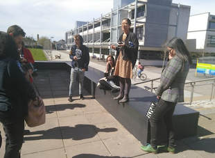
To begin this two-day workshop, the participants met at the Tokyo Metropolitan University for short presentations to contextualize the experimental and sensory mapping methodologies, before continuing the discussion on the trains while heading towards the Toyosu fish market for lunch (45min from Akihabara). They then visited the nearby construction site of the Athlete’s Village on Harumi Island while receiving background history on the area, and spent some time mapping the site. On the second day, they met at one of the 1964 Olympic sites to further explore mapping methodologies before heading back to Tokyo Metropolitan University to share results. The data collected helps answer the following research questions:

How does the official Olympic narrative affect the sites?

How do experimental cartographies work to investigate how place is constructed?

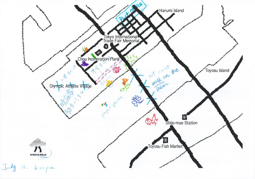
Strata-Maps Day 1: Harumi Island

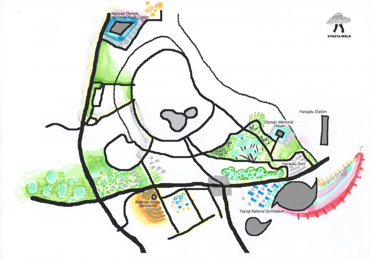
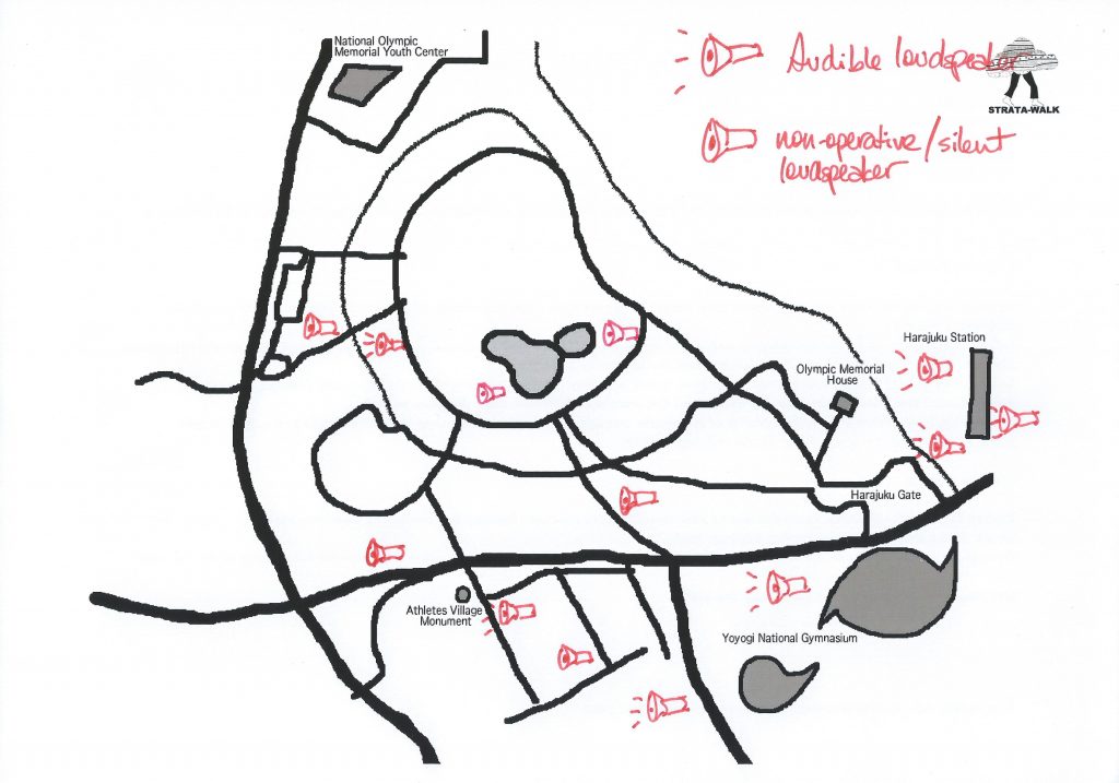
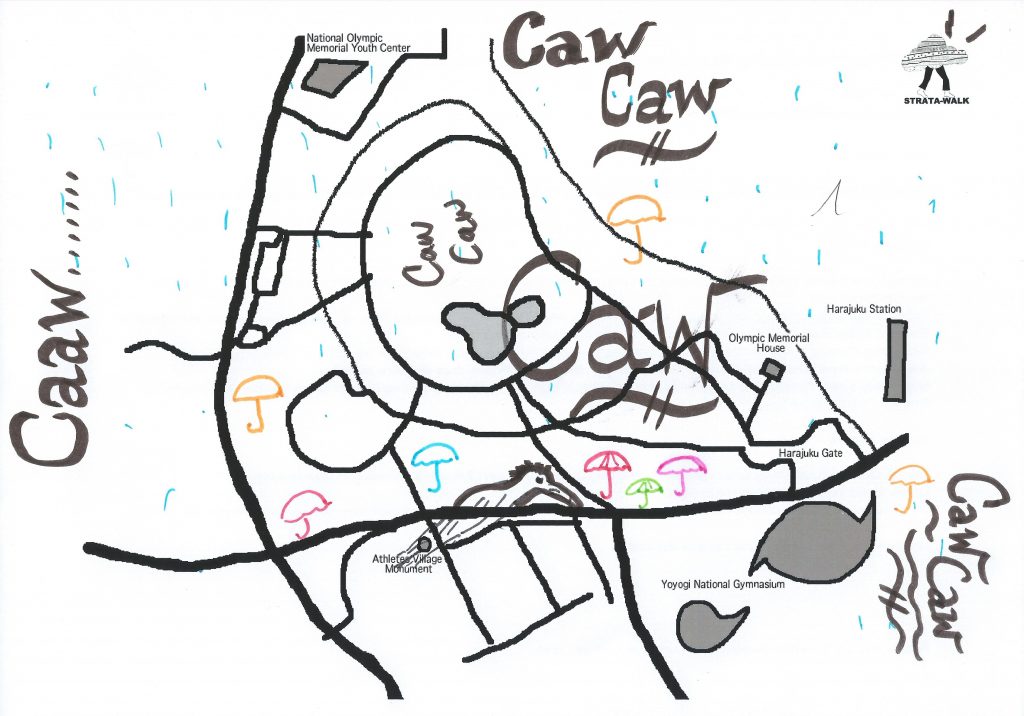
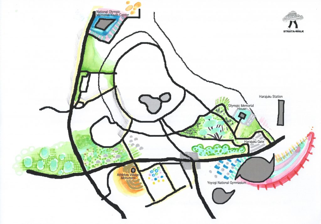
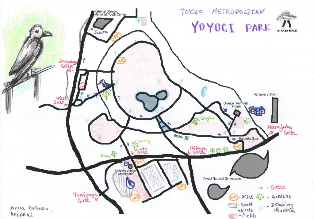
Strata-Maps Day 2: Yoyogi

Categories
stratawalks walks

Galway

A Strata-Walk in Galway, Ireland as part of the conference Transient Topographies: Space and Interface in Digital Literature and Art
April 21, 2018
Meet at the Moore Institute, Hardiman Research Library, National University of Ireland at Galway

HPU Founding member Taien Ng-Chan led a Strata-Walk around the block in conjunction with an experimental site-specific soundtrack that was made in the 48-hours preceding the conference, and presented a paper on locative media practices.