Categories
stratawalks walks

Tokyo Olympic Sites

​Reclaiming Through Mapping: The Olympic Sites of Tokyo
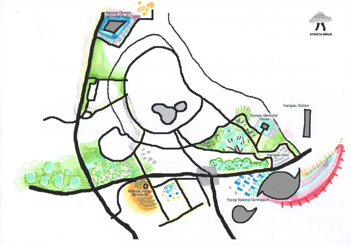
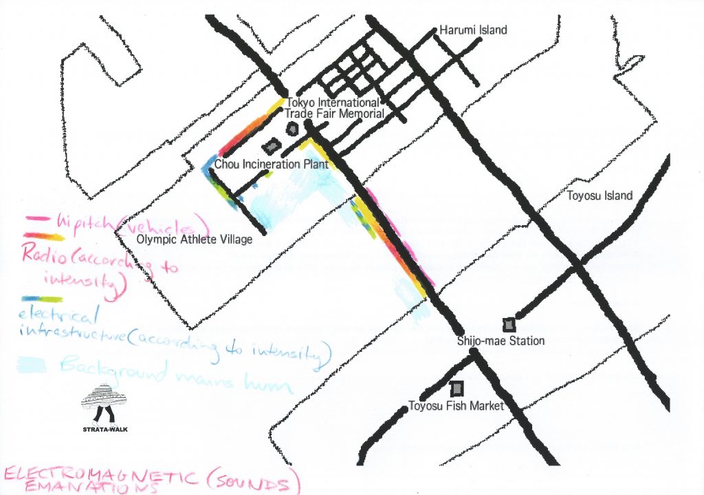
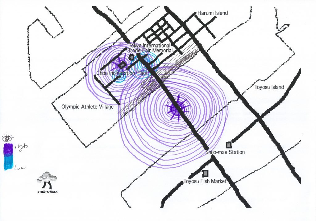
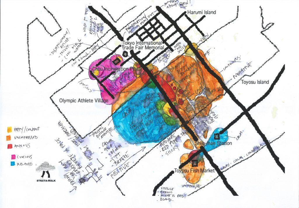
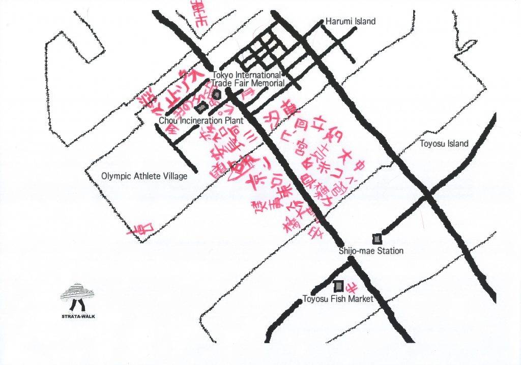
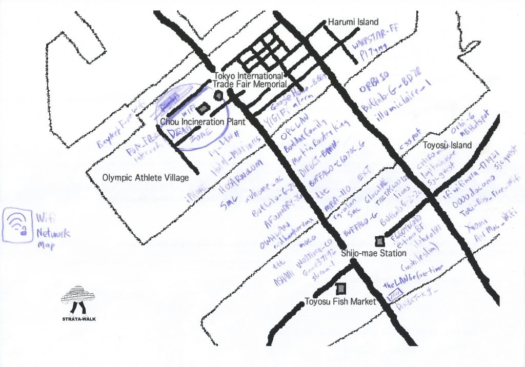
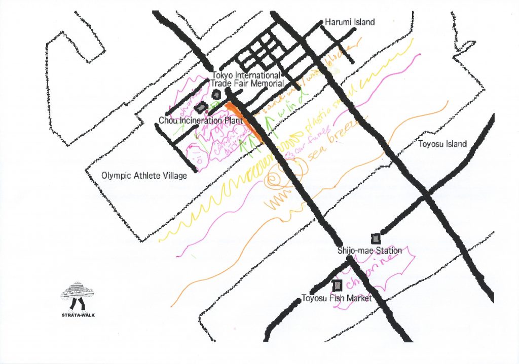
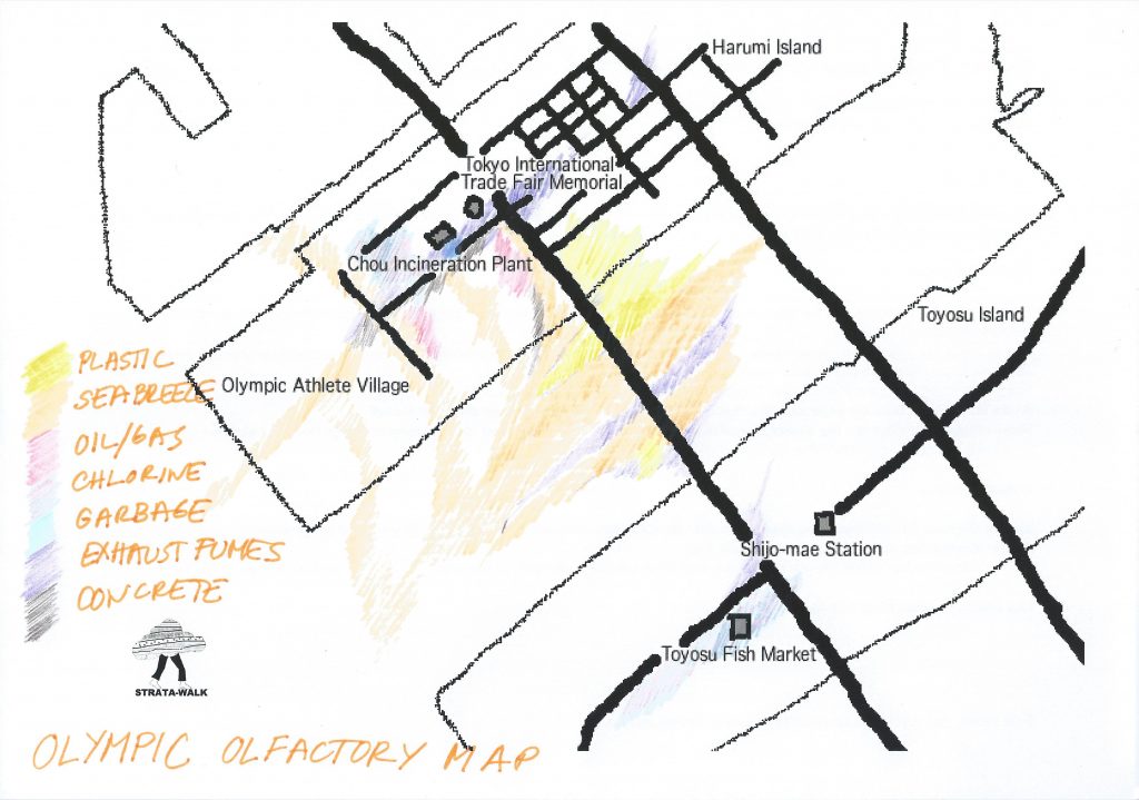
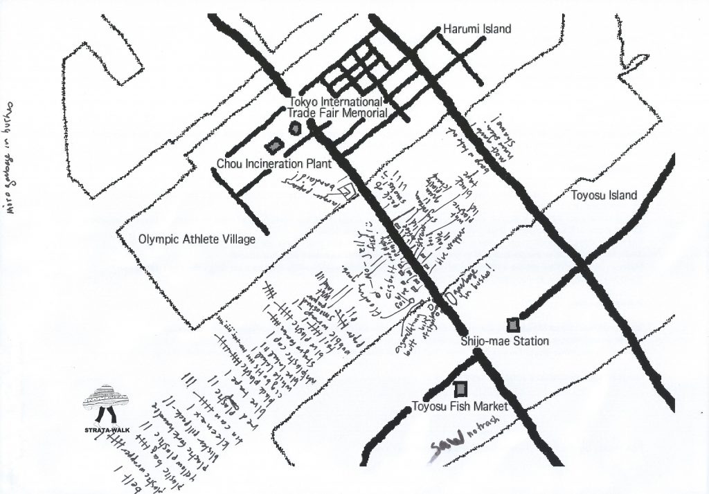
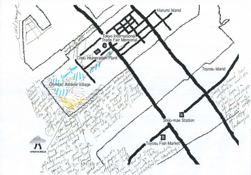
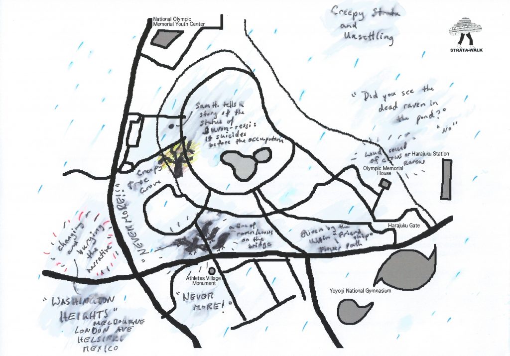
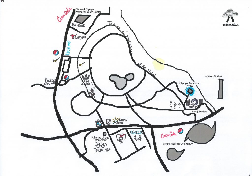
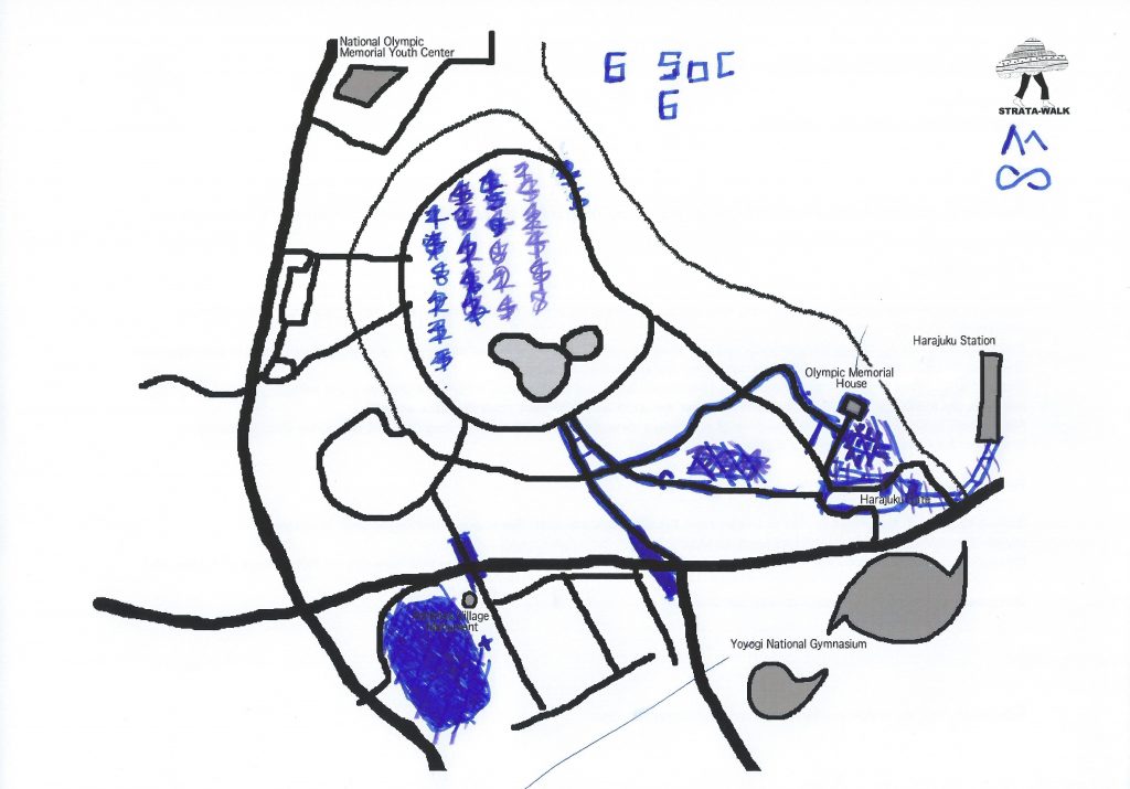
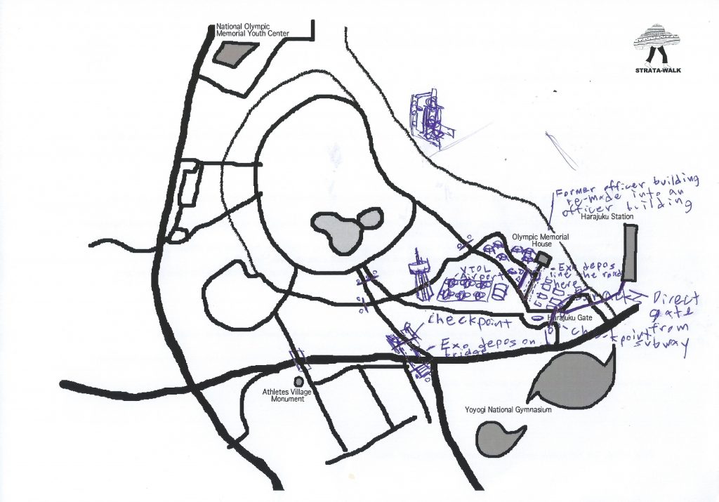
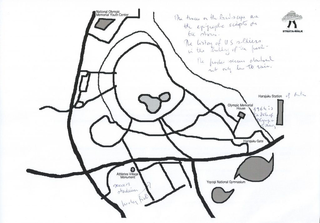
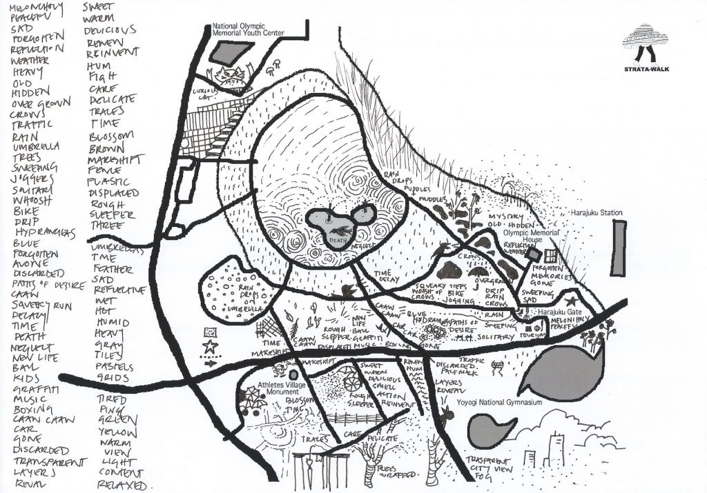
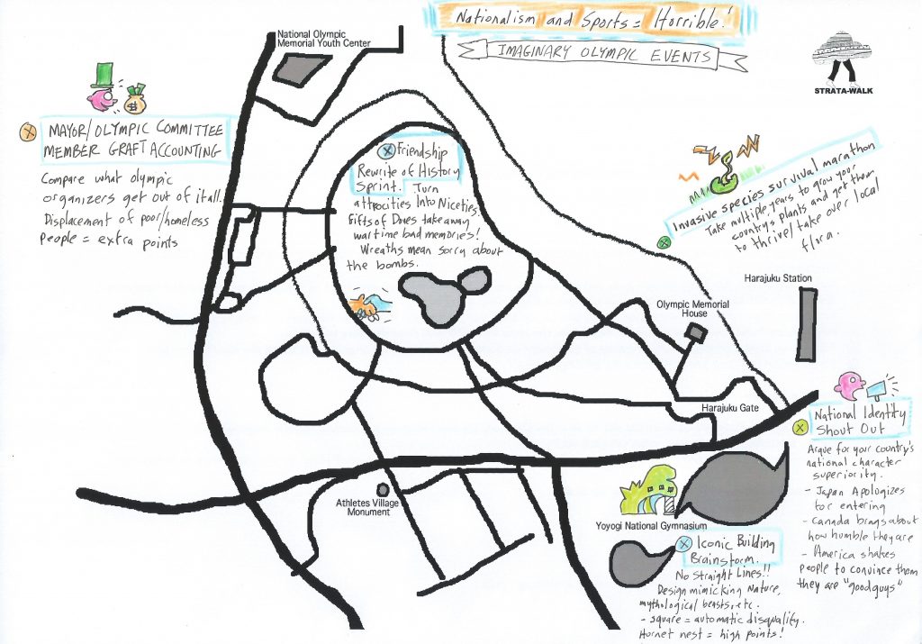
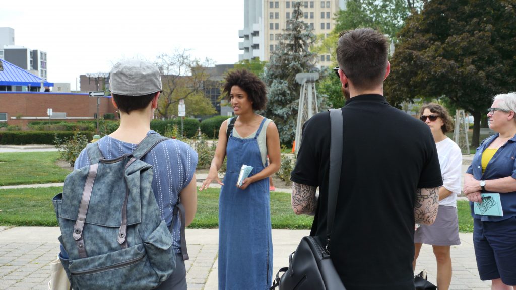
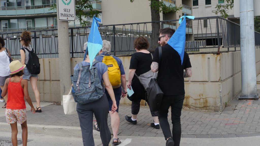
The International Cartographic Association (ICA) Commission on Art & Cartography organized the Pre-Conference Workshop “Reclaiming through Mapping: Olympic Sites of Tokyo” in July 2019. Some of these spaces, including the main conference venue, are on reclaimed land or artificial islands in Tokyo Bay built out of waste landfill. This workshop investigated the question of how place is constructed and mapped, using an experimental methodology developed by the artist-research collective Hamilton Perambulatory Unit, who led a participatory mapping walk in Tokyo that looks to uncover the layers of urban development history of the 2 Tokyo Olympics and the high-growth (1964) and post-growth (2020) periods they represent. This interdisciplinary workshop used hybrid spatial and sensory ethnography and intermedial approaches to map a site and distinguish the layers of time, history, materiality, and digital city-image. Participants contributed to the final multi-media strata-map of Tokyo’s Olympic sites.

Watch a video documentation shot and edited by Sarah Choi: 

Commission for Art & Cartography with the Hamilton Perambulatory Unit, Tokyo, 2019 (Sarah Choi) from Hamilton Perambulatory Unit on Vimeo.

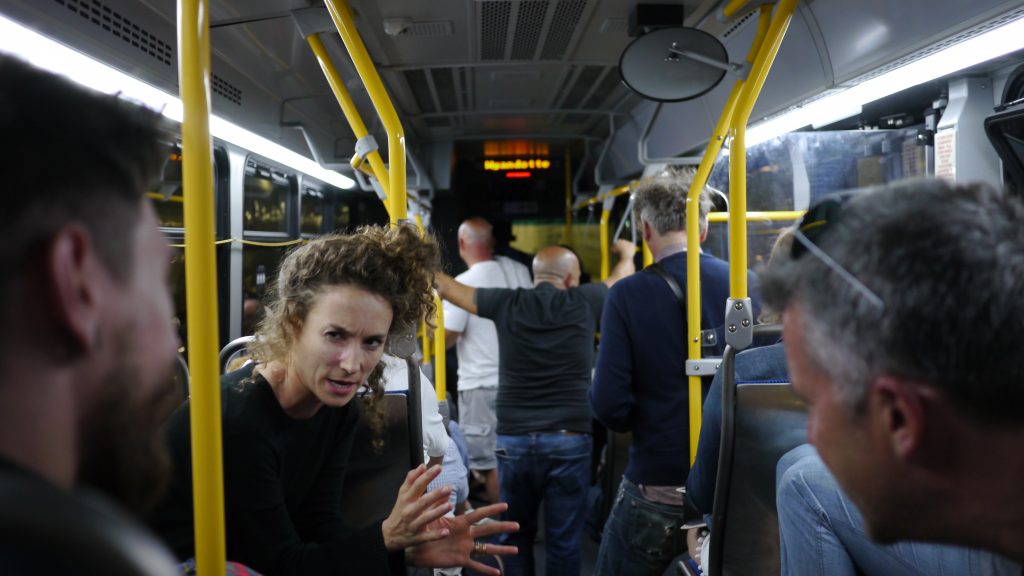
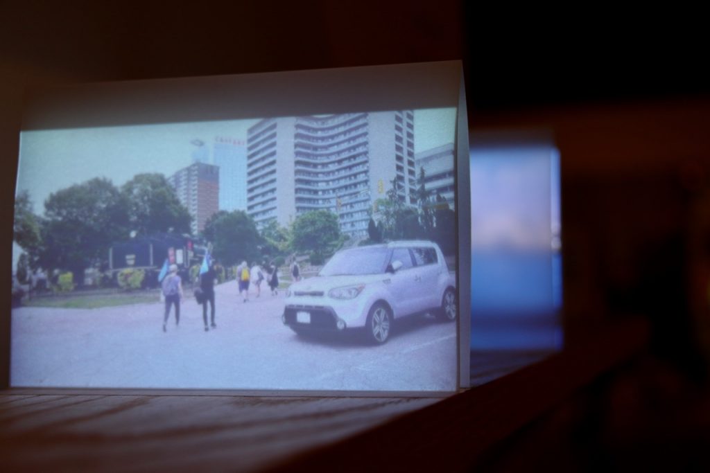
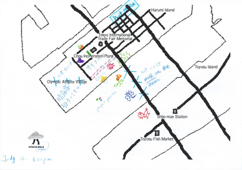
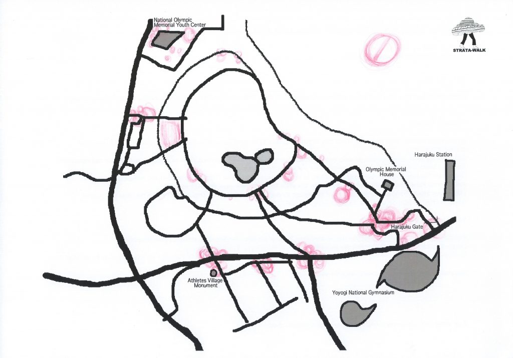
To begin this two-day workshop, the participants met at the Tokyo Metropolitan University for short presentations to contextualize the experimental and sensory mapping methodologies, before continuing the discussion on the trains while heading towards the Toyosu fish market for lunch (45min from Akihabara). They then visited the nearby construction site of the Athlete’s Village on Harumi Island while receiving background history on the area, and spent some time mapping the site. On the second day, they met at one of the 1964 Olympic sites to further explore mapping methodologies before heading back to Tokyo Metropolitan University to share results. The data collected helps answer the following research questions:

How does the official Olympic narrative affect the sites?

How do experimental cartographies work to investigate how place is constructed?

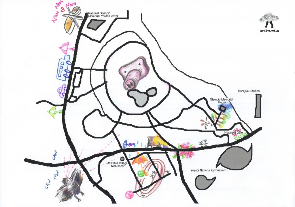
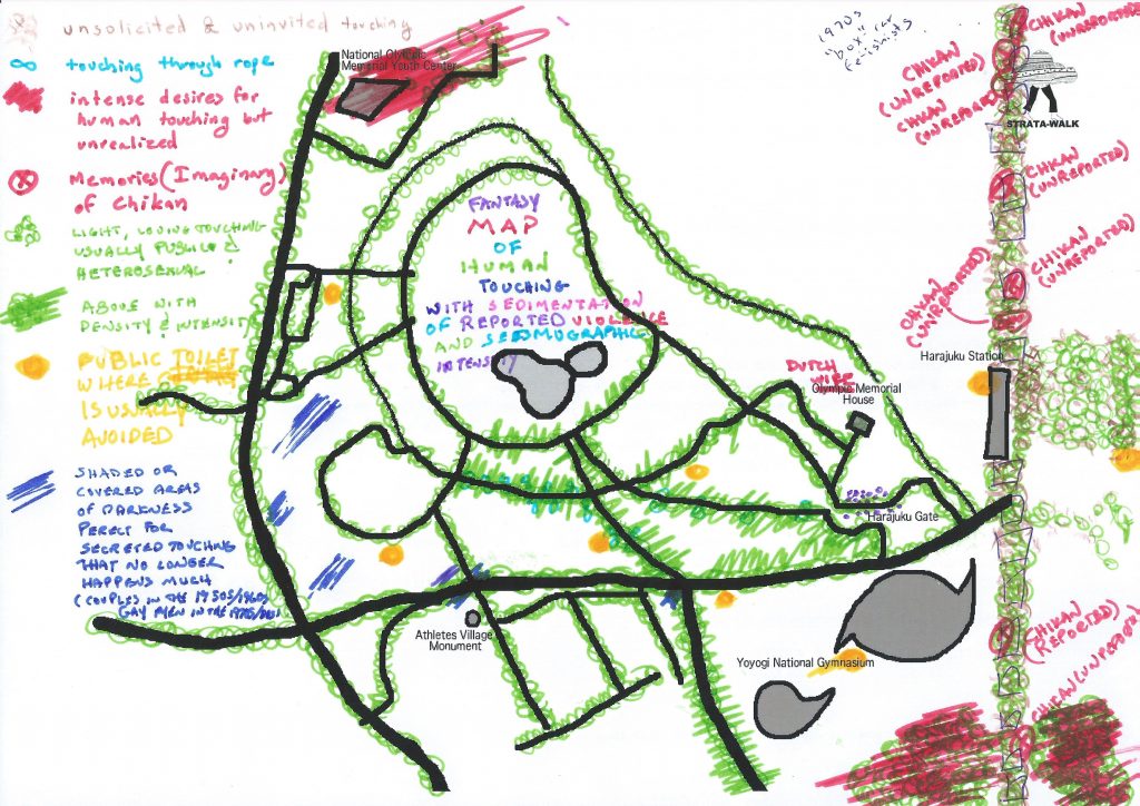
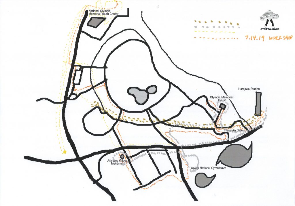
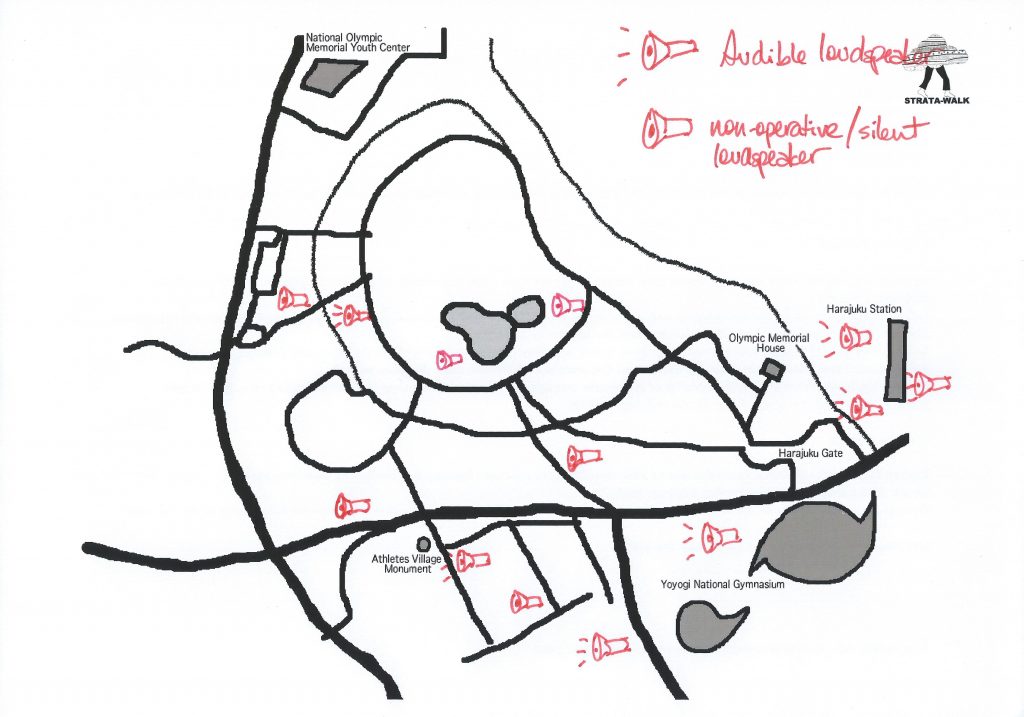
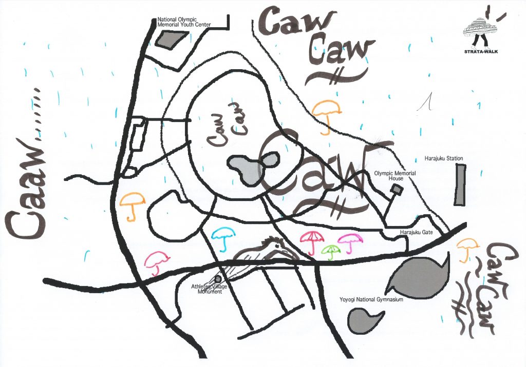
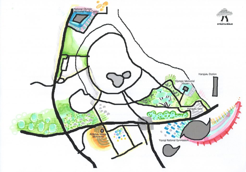
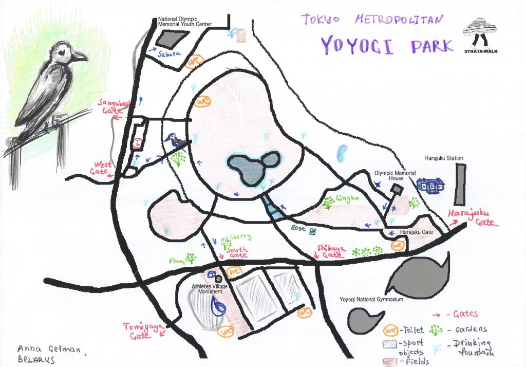
Strata-Maps Day 1: Harumi Island
Strata-Maps Day 2: Yoyogi
Categories
stratawalks walks

Detroit River Borderlands

Strata-Mapping the Detroit River Border

See workshop

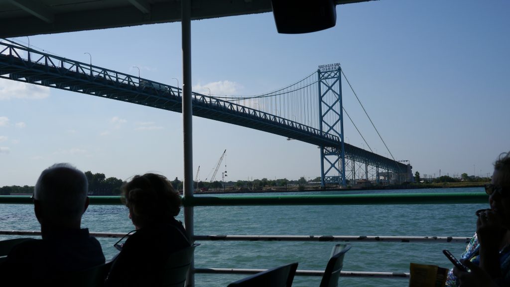
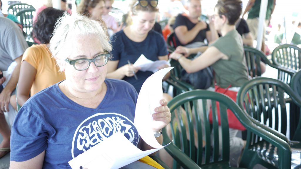
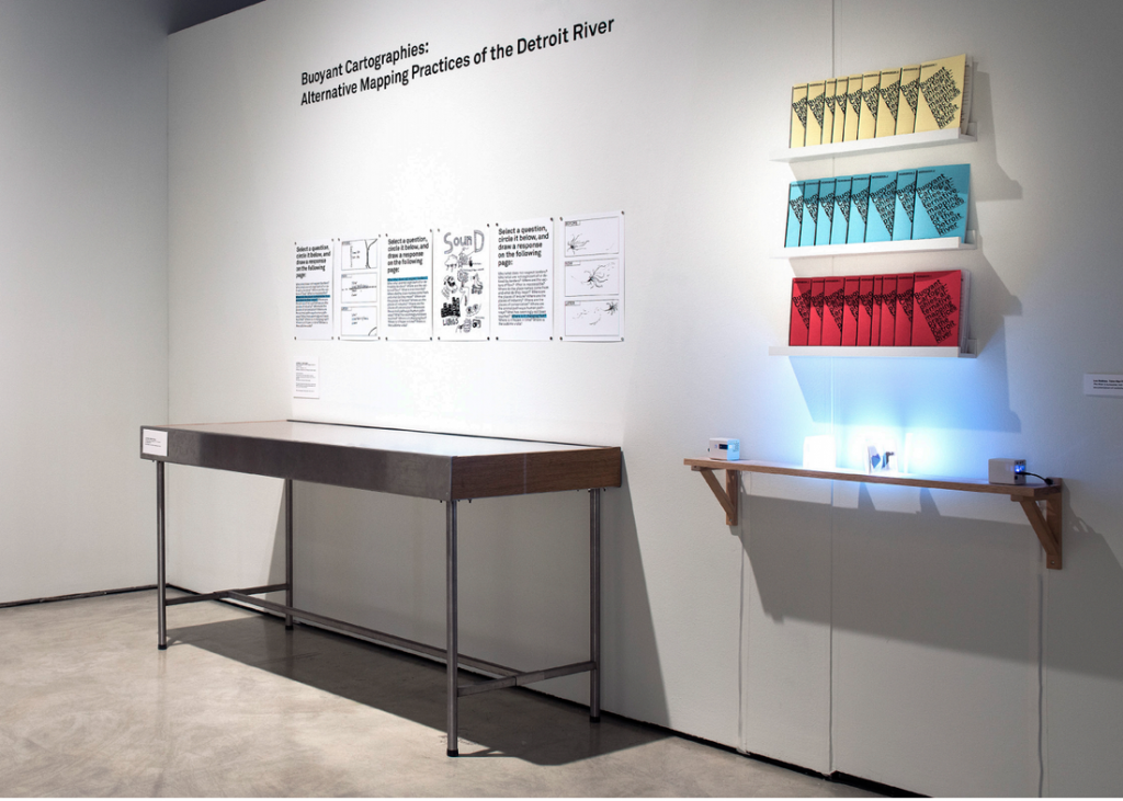
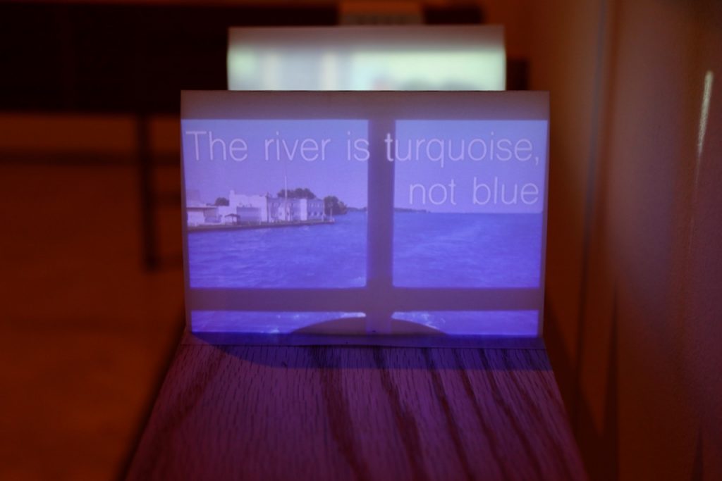
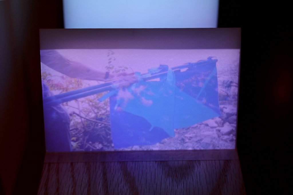
Buoyant Cartographies was a workshop co-hosted by the In/Terminus Research Group (Lee Rodney and Michael Darroch), Float School (Justin Langlois and Holly Schmidt), and the HPU, investigating the Detroit River border through strata-mapping and other methodologies. Some of the resulting workshop booklets, maps and videos were exhibited as part of “The Living River Project: Art Water and Possible Worlds” at the Art Gallery of Windsor (curated by Stuart Reid and Patrick Mahon) from October 26, 2018 – January 29, 2019.

Taien Ng-Chan published an essay on the Buoyant Cartographies workshop in Windsor-Detroit: erudit.org/en/journals/im/2019-n34-im05439/1070880ar/

Abstract:
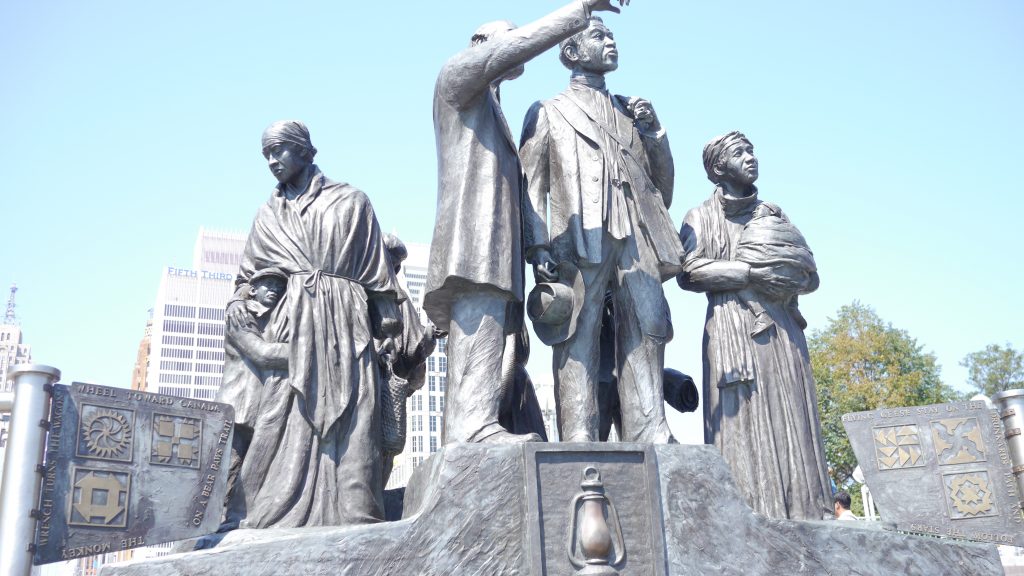
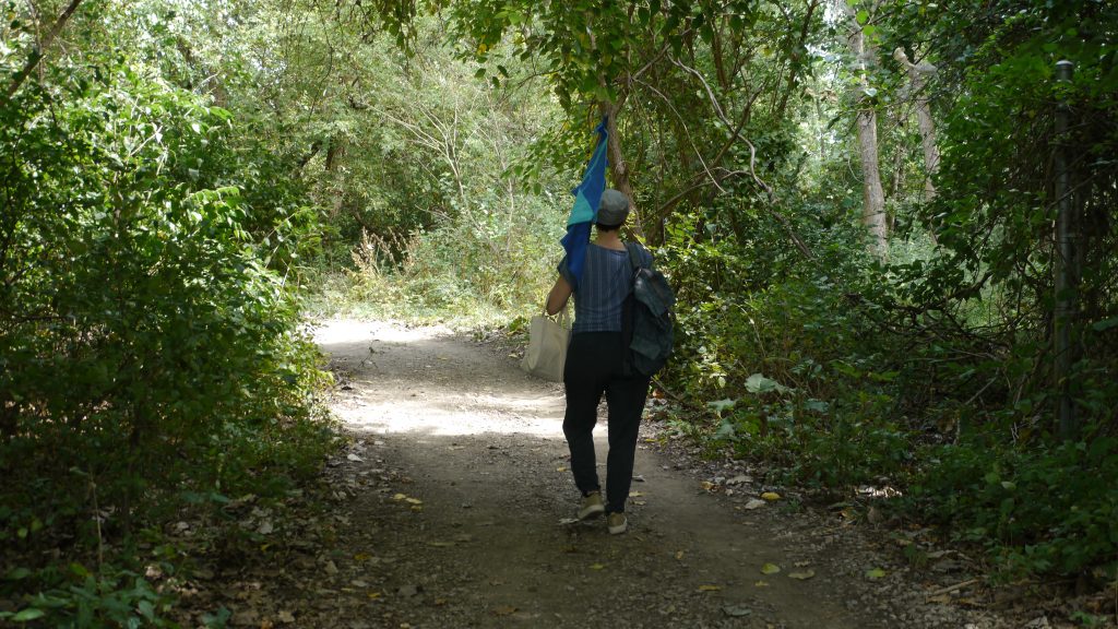
The Hamilton Perambulatory Unit (HPU)’s strata-mapping framework is an experimental research-creation practice that focuses on how spatial meaning is created through a performative “stratigraphic” sensing and researching of a site. The international border between Detroit, Michigan and Windsor, Ontario makes an especially compelling site for experimental cartographies in light of the conflicts over borders and walls in the current political environment. At the southernmost tip of the Great Lakes system, we focused our attention on this river border as a material site and geopolitical space: it enabled us to investigate alternate possibilities for sensing and envisioning the layered and conjoined histories of this fluid space. The Ojibwe name for this location is waawiiatanong ziibi, “where the river bends,” suggesting a radically different spatial imaginary than the divided space that has been established through colonial and national histories. Experimental cartographies can thus help to develop alternate ways of experiencing such sites, an initial step towards decolonizing the spatial imaginary through a project of delinking. In September 2018, we conducted a workshop entitled Buoyant Cartographies, focusing on a performative and intermedial investigation into spatial meanings and their construction on Peche Island, which sits in the middle of the Detroit River. This was one of three Detroit River sites investigated in the workshop, with contributions from workshop organizers and HPU co-conspirator Donna Akrey.

Exhibition

Lee Rodney with Justin Langlois, Buoyant Cartographies: Alternative Mapping Practice on the Detroit River, August 31 – September 1, 2018.