Categories
stratawalks walks

Detroit River Borderlands

Strata-Mapping the Detroit River Border

See workshop

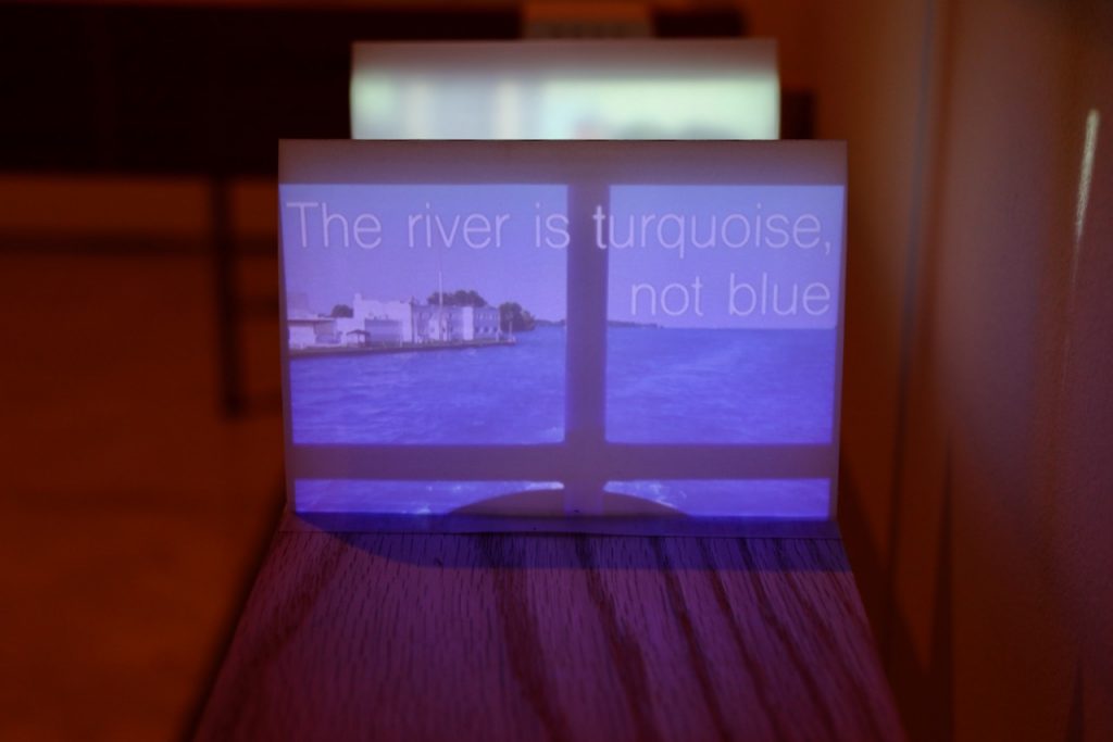
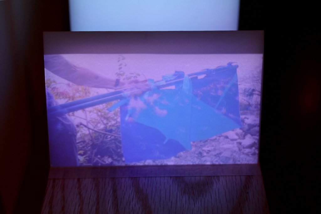
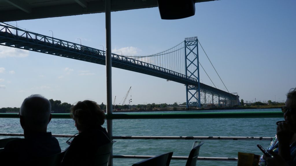
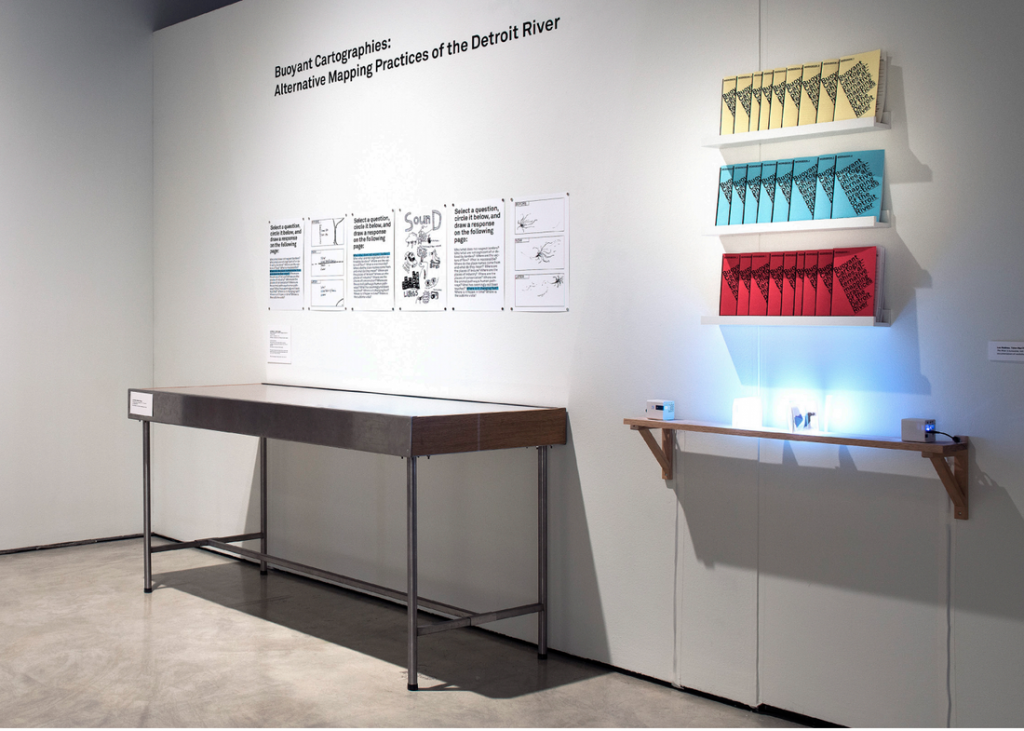
Buoyant Cartographies was a workshop co-hosted by the In/Terminus Research Group (Lee Rodney and Michael Darroch), Float School (Justin Langlois and Holly Schmidt), and the HPU, investigating the Detroit River border through strata-mapping and other methodologies. Some of the resulting workshop booklets, maps and videos were exhibited as part of “The Living River Project: Art Water and Possible Worlds” at the Art Gallery of Windsor (curated by Stuart Reid and Patrick Mahon) from October 26, 2018 – January 29, 2019.

Taien Ng-Chan published an essay on the Buoyant Cartographies workshop in Windsor-Detroit: erudit.org/en/journals/im/2019-n34-im05439/1070880ar/

Abstract:
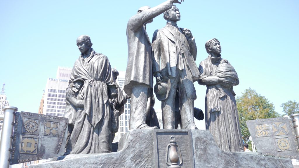
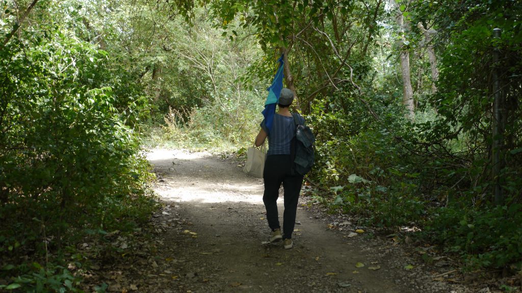
The Hamilton Perambulatory Unit (HPU)’s strata-mapping framework is an experimental research-creation practice that focuses on how spatial meaning is created through a performative “stratigraphic” sensing and researching of a site. The international border between Detroit, Michigan and Windsor, Ontario makes an especially compelling site for experimental cartographies in light of the conflicts over borders and walls in the current political environment. At the southernmost tip of the Great Lakes system, we focused our attention on this river border as a material site and geopolitical space: it enabled us to investigate alternate possibilities for sensing and envisioning the layered and conjoined histories of this fluid space. The Ojibwe name for this location is waawiiatanong ziibi, “where the river bends,” suggesting a radically different spatial imaginary than the divided space that has been established through colonial and national histories. Experimental cartographies can thus help to develop alternate ways of experiencing such sites, an initial step towards decolonizing the spatial imaginary through a project of delinking. In September 2018, we conducted a workshop entitled Buoyant Cartographies, focusing on a performative and intermedial investigation into spatial meanings and their construction on Peche Island, which sits in the middle of the Detroit River. This was one of three Detroit River sites investigated in the workshop, with contributions from workshop organizers and HPU co-conspirator Donna Akrey.
Exhibition
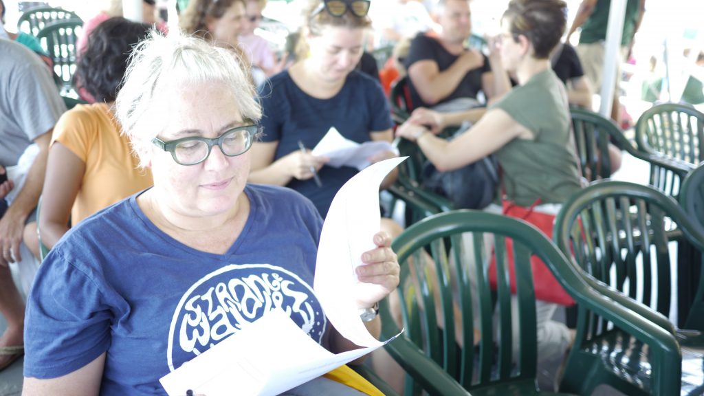
Lee Rodney with Justin Langlois, Buoyant Cartographies: Alternative Mapping Practice on the Detroit River, August 31 – September 1, 2018.
Categories
stratawalks walks

Windsor Armouries

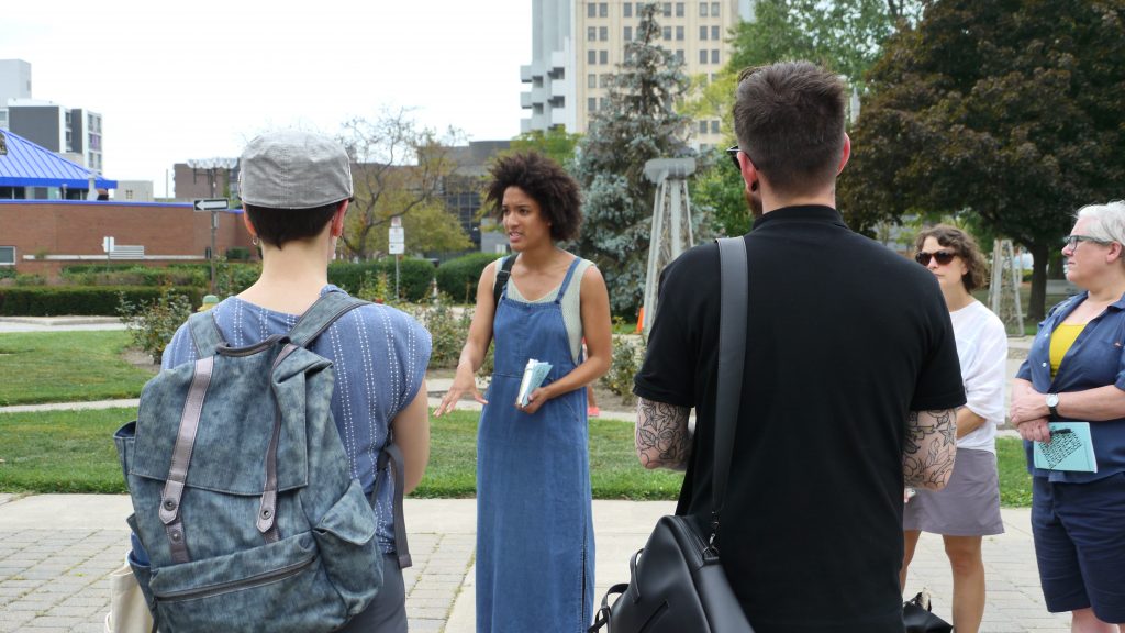
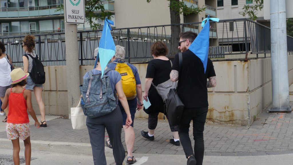
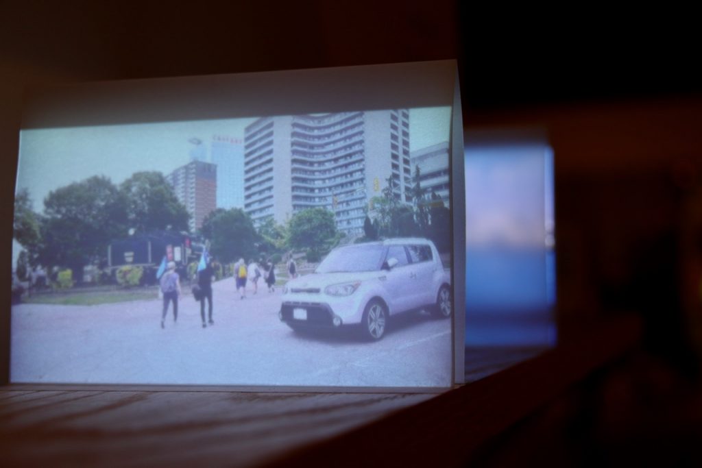
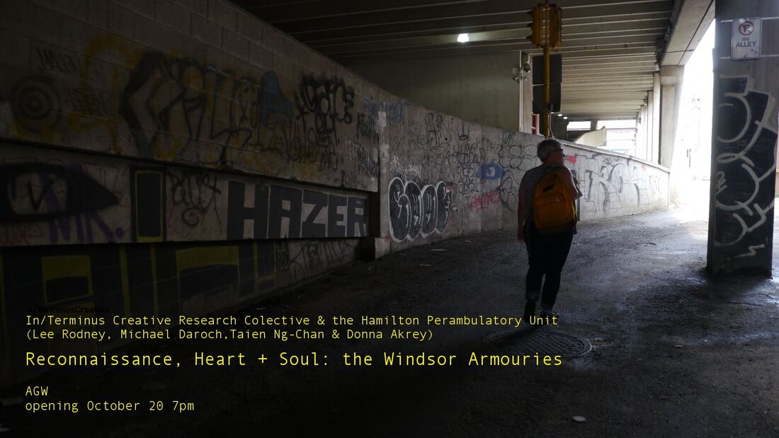
Please join IN/TERMINUS and the Hamilton Perambulatory Unit for a participatory Strata-Walk in downtown Windsor, as part of the Triennial of Contemporary Art
Meet at the Art Gallery of Windsor.

The metaphor that downtowns have a “heart” or “soul” lends emotional weight to the dense historical and cultural layers that define city life. Our collaboration combines stratigraphic cartography with the military practice of reconnaissance, enquiring into the relationship between the historic military presence in Windsor’s urban centre and current locations of its “heart and soul.” Windsor’s Armouries represent a late 19th/early 20th century civic structure that traditionally occupied the “heart” of the city, representing a form of fortification and security that has lost relevance. Starting from the Armouries (soon the University of Windsor’s School of Creative Arts), our participatory “strata walks” map ways in which traditional forms of security and surveillance have shifted, disappeared, or morphed into new contexts.

This project was written up in Canadian Art

Categories
stratawalks walks

Victoria Street/Avenue

Strata-Walk: Victoria Street/Avenue

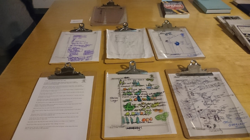
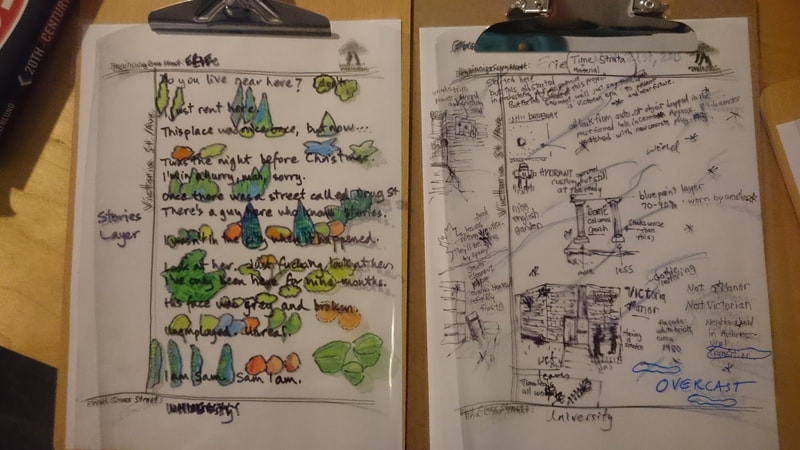
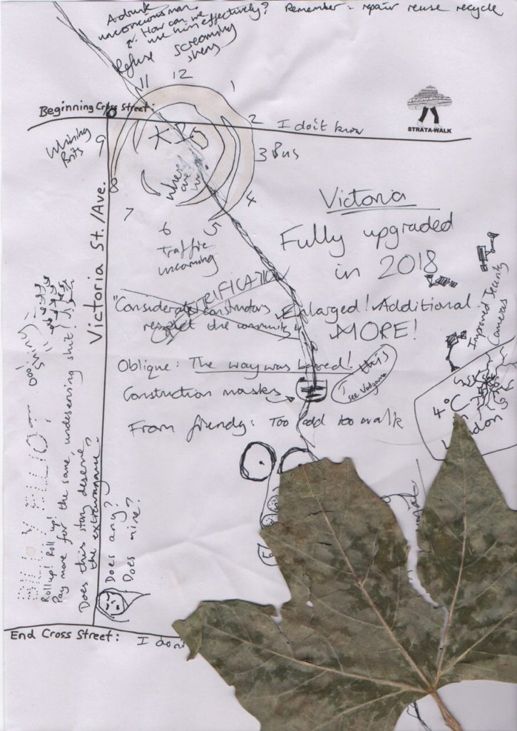
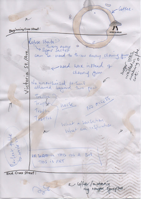
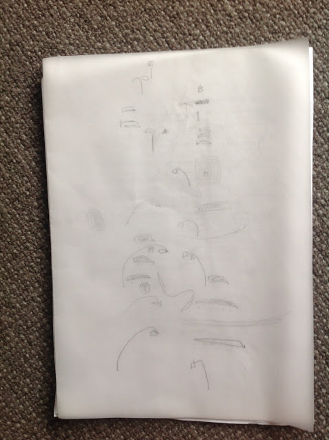
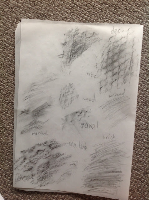
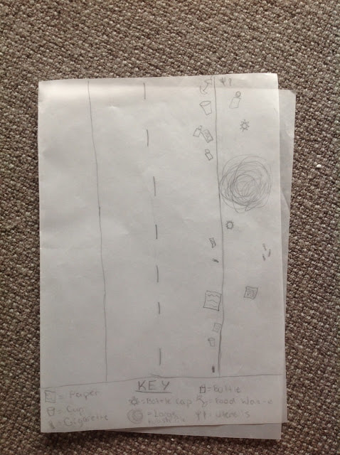
The HPU led a stratigraphic walk to map the different layers of meanings, stories, and systems that make up a place. With the help of a list of prompts, the HPU explored the urban landscape in three different cities, on three different continents! It took place in Sydney, Australia (where HPU member Sarah Truman led with members of WalkingLab), Windsor (with HPUers Donna Akrey and Taien Ng-Chan as part of In/terminus Research Collective’s Stories of the City exhibition opening), and London, England (with composer David Ben Shannon). Each group collectively mapped the “strata” of that street on that date.

Victoria Avenue (Windsor)

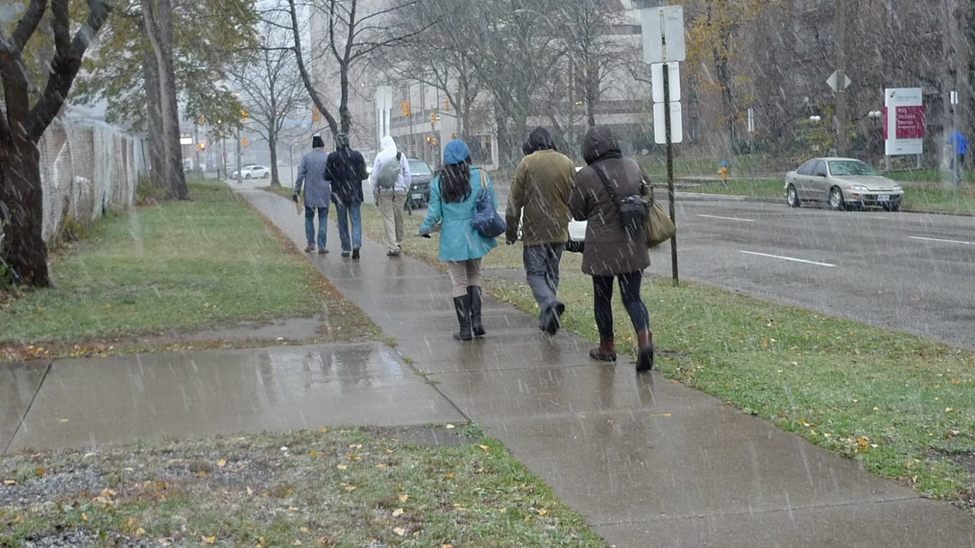
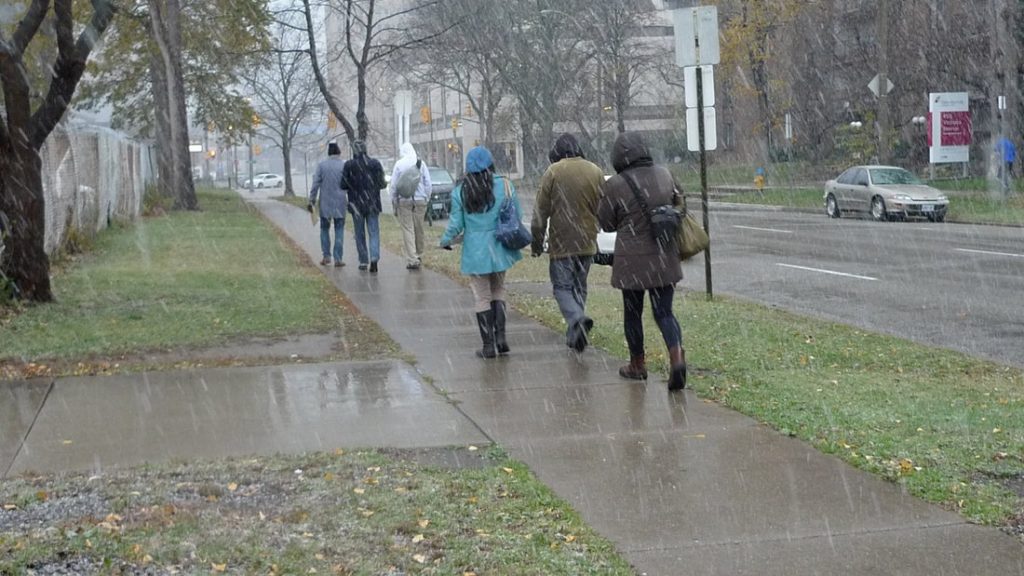
In Windsor, it was a very wet walk, full of weather, with heavy clumps of sleety-snow falling onto our attempts at mapping en route. We focused instead on note taking and chatting about the street and about the particulars of Windsor culture. For instance, many of the street names are French, pointing to the old city roots as a French settlement, but locals have anglicized the pronounciations (for example, Pierre Street is pronounced “Piry”). The US-Canada border is, by some strange twist of geography, north of our location. One participant decided to map the responses of strangers when asked to tell their favourite story. The group reached our destination towards the end of Victoria and University Streets and decamped to a nearby pub to finish our maps over some pints. Many thanks to In/terminus and to all those hearty souls who bravely came out for this wet and chilly walk!

Victoria Street (London) Strata-maps

Victoria Street (Sydney) Strata-maps